

Hiking from Grächen to Zermatt via the longest Suspension bridge is an interesting two-day hike. It provides you with views of glaciers, boulder fields, scree slopes and more. It also provides you with the opportunity to cross a suspension bridge that takes six minutes.
Hiking up from Grächen
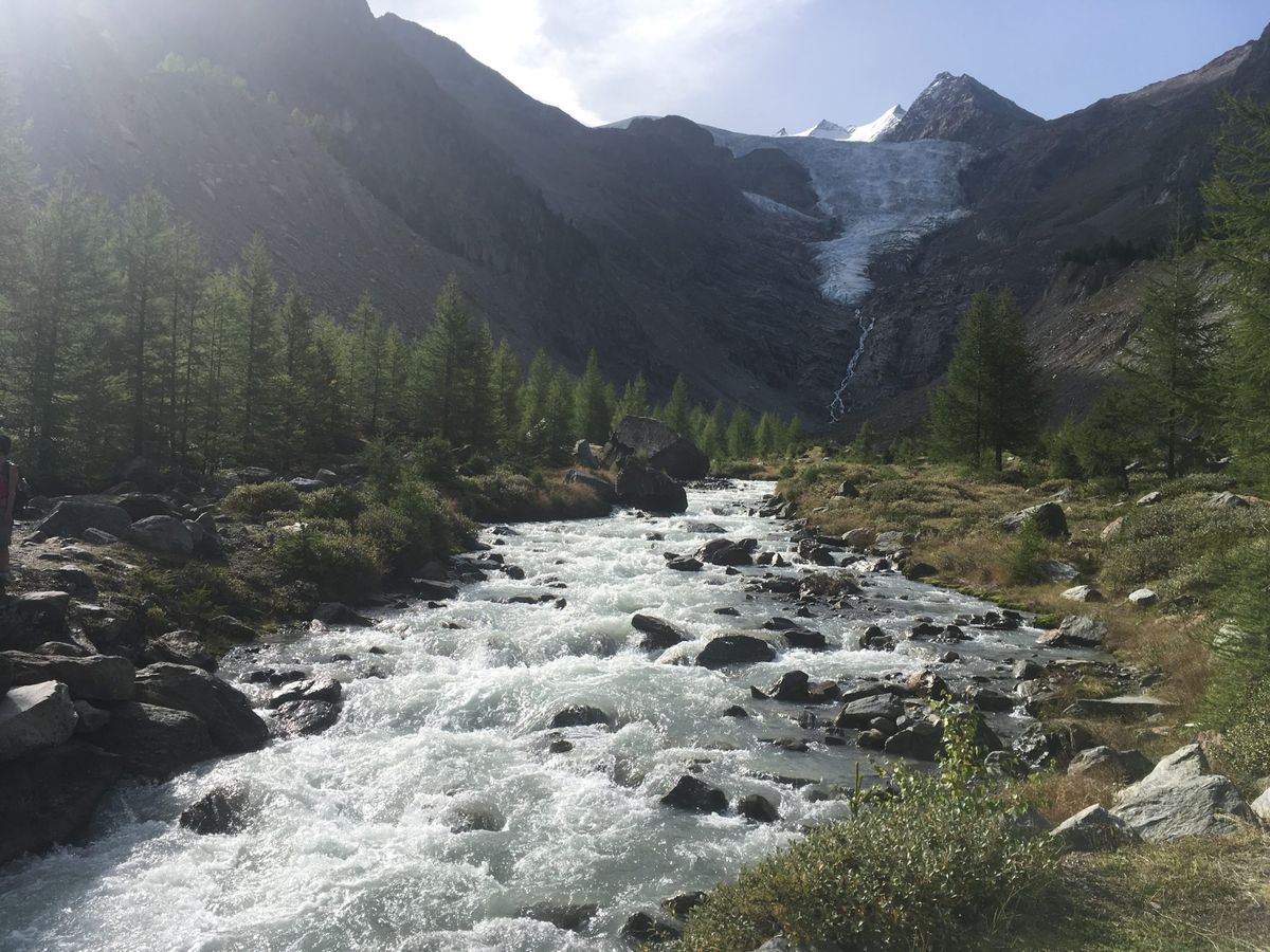
The hike up from Grächen takes you up through a forest. You go through a forest and there is a stream to your left and the nice landscape to your right. The hike up is easy. 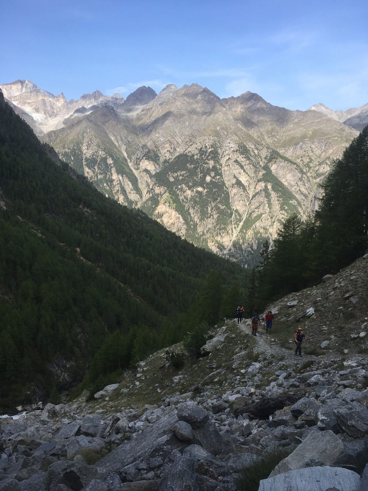
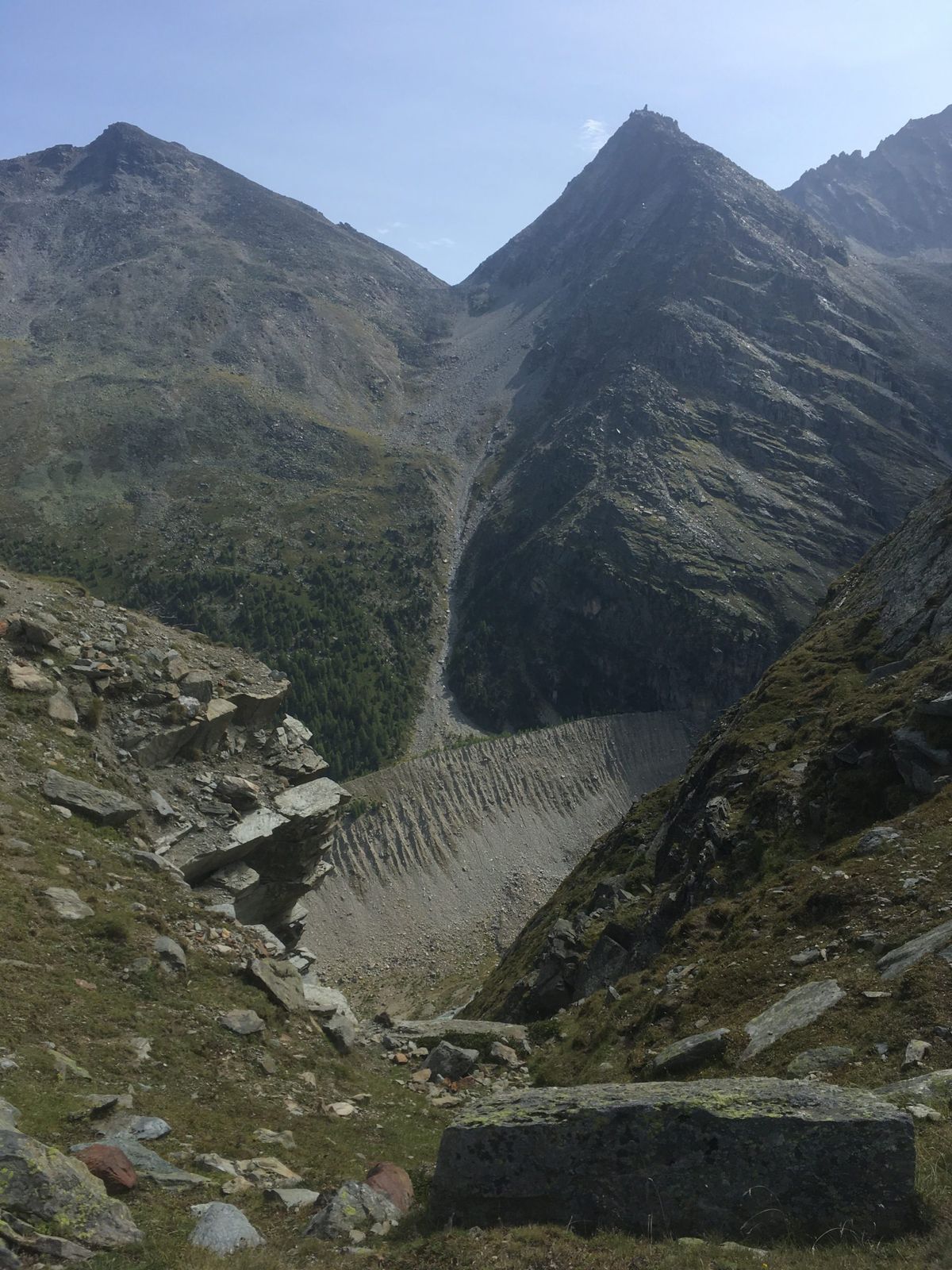
The dangerous zone in context
The dangerous zone takes a few minutes to cross and there are big rocks behind which you could try to shelter during a rock fall but the best option is to spend as little time as possible in the dangerous section. Rock falls are usually due to hikers, rain and ice formation. When rock falls are common you see that there is no moss and no trees grow. Later we crossed over boulder fields where trees and moss were growing. The Europahütte is built in an old boulder field overlooking the bridge. [gallery ids=“3745,3744”]
Fractals
In one of the Coastline documentaries I watched a while ago, they said that if you measure the coastline to within one metre you get one distance and if you measure the same coastline to within 30 centimetres or less you would get a much higher figure. During the last few kilometres, this was clearly evident. On the GPS the two or three kilometres were the last two or three kilometres for a long time. The terrain undulates quite a bit and there are many nooks and crannies. In a straight line the distance was 1.6km but in real terms, the distance was closer to three or four kilometres. Until this hike, I was used to circular rather than linear hikes. Most of the hikes start in one point and go around to another. When you look at the route track for both days of hiking they go in a relatively straight line.